Ensuring that everything is A-OK prior to taking off for a drone flight is important. But it’s not that easy to remember all the various things that you should really be marking methodically off a checklist. That’s why we recommend using and personalizing a standard pre-flight checklist.
We just finished writing a fairly exhaustive piece about why it’s worth checking your drone carefully prior to flight – and what mishaps might befall you when you don’t. I learned this from personal experience, and it was a powerful lesson. I now routinely check my gear super thoroughly prior to a flight. And while we can’t tell you what to do, we can certainly let you know that it’s an undisputed best practice to carefully check out everything from the weather forecast to the condition of each and every propeller prior to a flight. Failure to do so could lead to something very nasty during flight – and none of us wants that to happen.
Some of this is obvious
Because we went into fairly extensive detail about some of the issues you might face in this post, we’re going to keep this story relatively bite-sized. Obviously, there are some things you need to check that should be very obvious for each and every flight. These include:
Are the batteries fully charged
Are the physical batteries in good shape? No cracks, swelling, or puffiness?
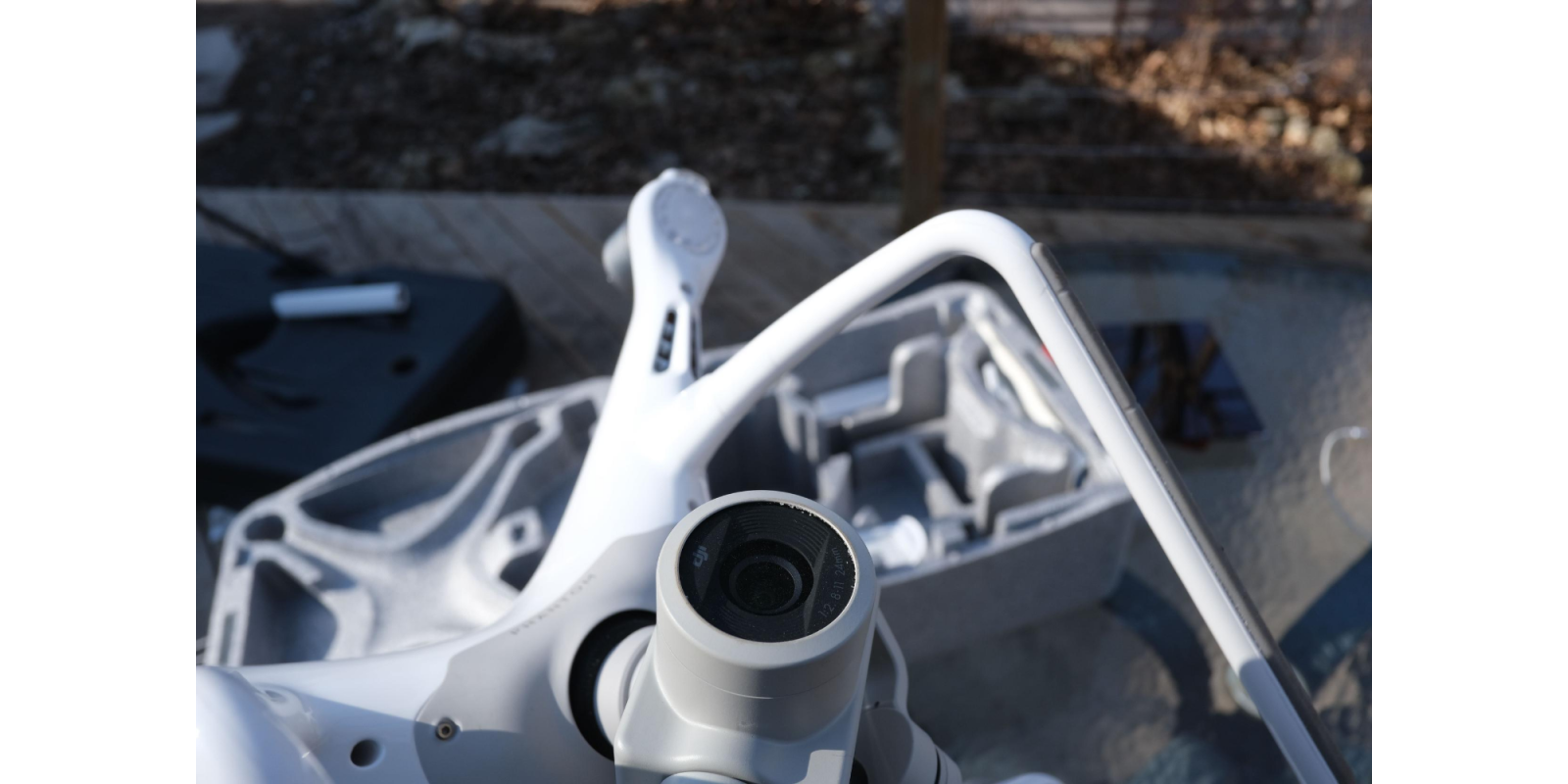
Are the propellors all properly affixed and in good shape with no chips or cracks?
Is the fuselage in good shape?
Is the firmware up-to-date for your app and your drone?
How about the weather forecast? Is it favorable?
And some of this is less obvious
Do I have the permissions or certification required for flights in this airspace?
Do I require a visual observer and/or security for this location?
Am I familiar with NOTAMS that may have been issued for this area?
Has there been a recall or other recent notice the might affect the airworthiness of my drone?
How would I rate my own physical and mental well-being on flight day? Is there a medication I might have taken that could interfere with my performance? Did I get enough sleep last night? How’s my mood?
Not ‘One Size Fits All’
Of course, the precise checklist you use will depend on the mission at hand, the payload you are flying – and even the specific drone you’re putting to use. So you will want to take an existing template and modify it to fully cover your own circumstances and equipment. What we offer here, therefore, is simply a starter to get you going.
Before leaving home:
Firmware up to date?
Batteries fully charged?
Batteries inspected for damage?
Phone or tablet/screen device fully charged?
Micro SD or SSD in UAV?
Check for NOTAMS
Research flight area
Plan mission
Check forecast to ensure weather compatible with your drone
Are you feeling physically and mentally capable of the flight?
When on-site
Inspect site for obstacles etc.
Inspect drone thoroughly for any potential problems
Calibrate compass and home point
Enable RTH and check altitude as been set
Check GPS lock and ensure adequate satellites
Ensure you’re flying where it’s safe to fly (doesn’t hurt to double-check)
Immediately after takeoff…
There’s no rush. After you’ve popped it off the ground let it hover and observe for stable flight and solid Command & Control connection
Test all controls with slight motion and ensure outputs match inputs
Monitor GPS satellite connectivity and watch for any signs of interference
Do all of the above while drone remains within Line of Sight
After your mission…
Power off your drone
Inspect thoroughly for any damage
Wipe fuselage, if necessary, with slightly damp cloth
Pack drone properly in case, ensuring all parts are undamaged before stowing
And a special present…
We know that’s a lot to remember. So we’ve prepared a special DroneDJ checklist that you can download here. Feel free to modify this, of course, but we hope it’s a good start.
And yeah, I’m not a graphic artist. But hey – it’s a decent list. Hope you find it useful!
https://dronedj.com/2020/08/12/use-this-pre-flight-checklist-to-help-ensure-safe-drone-flying/
Comentários
Enviar um comentário